Language
Currency
If you are looking for a trekking destination that is both pristine and challenging yet safe for beginners, Bu Gia Map is definitely a name you cannot miss. Located in the border region of Binh Phuoc – adjacent to Cambodia, Bu Gia Map National Park is famous for its vast primary forest ecosystem, crystal-clear streams, winding mountain slopes, and cool climate year-round. Not as noisy as Ta Nang – Phan Dung, and not as harsh as Lang Biang or Bidoup,trekking Bu Gia Map offers a balanced experience between challenge and exploration, taking you into a space completely separated from urban life.
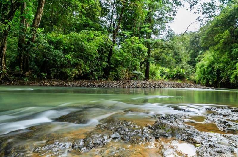
Compared to the famous trekking routes in the South, Bu Gia Map is still a "rough gem" that has not been heavily exploited. Thanks to this, the area retains its natural, wild beauty with dense forests, rich vegetation, and small streams winding through the mountains. The fresh air, ground covered with dry leaves, and sometimes only the sound of birds calling each other and the wind rustling through the canopy – all create a special sense of peace that few places can offer.
This forest region is home to hundreds of species of birds, reptiles, wild animals, and one of the most diverse plant systems in the Southeast region. The deeper you go into the forest, the more you can feel the connection between humans and nature – something that modern life sometimes makes us forget.
The first attraction of Bu Gia Map lies in its pristine nature. The red dirt paths, streams crossing, and sections of dense forest covered in vines create a journey that is challenging enough but not too exhausting. Because the terrain does not have steep high passes, the trekking route is suitable for beginners, as long as there is a local guide.
Another interesting point is the continuous change of scenery. In just one day of moving, you can go from dense bamboo forests to towering Lagerstroemia trees, then to open valleys with cool streams. The rich vegetation not only provides a unique trekking experience but also gives you countless beautiful natural check-in spots that need no editing.
For those who want to find a journey that is "challenging but not too harsh", Bu Gia Map is truly ideal. Although there are slopes, slippery sections after rain, and stream crossings, most are at a moderate level. As long as you prepare your physical strength and spirit well, even first-time trekkers can conquer this route.
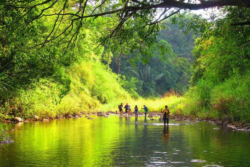
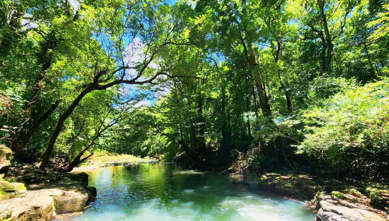
The most memorable experience of trekking Bu Gia Map is the feeling of crossing streams. The water is so clear that you can see every stone at the bottom. Many groups often stop along the way to soak their feet, have lunch, or simply to feel the cool water flowing by.
Camping in the forest is also a special experience you should try. When the sun sets behind the canopy, the forest becomes quieter but not scary at all. The yellow light from the tents, along with the buzzing of insects, makes the evening in the forest have a very unique color. Many people consider this the best "unwinding" moment of the trip.
In addition, you also have the opportunity to meet the S'tieng community living near the forest area. Their simple and close-knit life offers a genuine perspective on the culture of the Central Highlands – Southeast region.
The best time to trek Bu Gia Map is from December to April, when the weather is dry, there is little rain, and the paths are not too slippery. This is also when the forest has plenty of beautiful sunlight, making it extremely suitable for photography.
If you like lush green scenery, misty views, and streams full of water, trekking in the rainy season (May – October) is also very interesting. However, the paths will be slipperier, requiring flexibility and caution. In return, the rainy season landscape is beautiful in its own way: hazy, deep green, and full of life.
Trekking Bu Gia Map is not too difficult but still requires careful preparation for a smooth journey. Trekking shoes are a must, helping you move safely on the forest terrain and through streams. You should also bring a thin raincoat, insect repellent, gloves, and a moderate-sized backpack to carry water, snacks, and personal items.
A good trekking group always comes with porters and local guides. They understand the terrain, safe stopping points, and areas to avoid. This is extremely important because Bu Gia Map is a primary forest, with many areas lacking phone signal or signposts.
A relaxed spirit is also an important factor. Consider the trip as an opportunity to temporarily step away from the fast-paced life, connect with nature, and enjoy the simple yet emotional things.
Trekking Bu Gia Map is not only a physical journey but also an adventure into the heart of the pristine nature of Binh Phuoc. You will breathe in the fresh air, listen to the sounds of the forest, enjoy the cool streams, and experience the feeling of freedom that can only be found deep in the forest. With moderate terrain, beautiful landscapes, and unique local culture, Bu Gia Map is a great choice for both beginners and seasoned trekkers. A short trip but enough to recharge your energy and inspiration for everyday life.
Fill out the form and we will contact you