Language
Currency
Pha Luong Peak also known by another name Bo Lung in Thai meaning "Big Mountain". Located at an altitude of over 2000m above sea level, Pha Luong belongs to Long Sap commune, Moc Chau district, Son La province. This is also one of the highest peaks in the Northwest region, right next to the border area between Laos and Vietnam. Let NVK Travel explore more about the travel itinerary to Pha Luong in the following article.
Below are the latest information to help you better understand Pha Luong Peak:
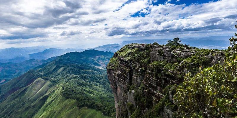
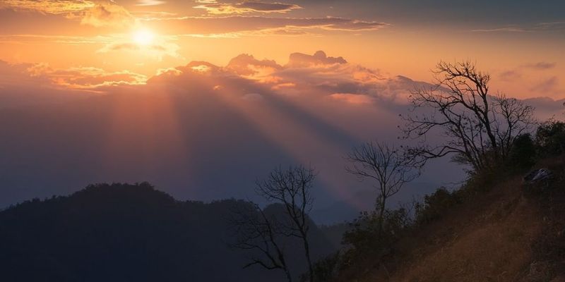
Located at an altitude of over 2000m above sea level, about 40km from Moc Chau, it is known as the roof of Moc Chau with a 360-degree view that captures the entire landscape of the mountains and forests here. Conquering Pha Luong with winding passes and steep slopes, you will be amazed by the majestic and poetic sea of clouds touching the sky, resembling a fairyland.
Immersing yourself in the chilly atmosphere at the peak, you will be overwhelmed by the vast scenery of the maple forest, which turns red across the sky and golden when the leaves wither. Besides, when you come here, you can experience camping and picnicking in the cool and poetic forest.
Sharing summarized information about Pha Luong Peak
>>> See more: Ban Ang Pine Forest - A Miniature Da Lat in the Northwest Mountains
Moc Chau is known as a peaceful land with a mild climate all year round, suitable for relaxation, away from the hustle and bustle. The highlights here are the endless green tea hills, vast fields of white mustard flowers, and gardens of honey and peach blossoms coloring a corner of the sky, with Pha Luong being a destination that attracts many adventure enthusiasts.
To conquer this route, you can come here at any time of the year. However, to admire the unique flower scenery here, NVK Travel suggests that tourists visit at the end of the year, before or after the Lunar New Year when the plum and peach flowers begin to bloom.
The appropriate time to explore the peak
>>> See more: Na Ka Plum Valley - The most worthwhile tourist destination in Moc Chau
Moc Chau is about 200km from Hanoi, and if you start from here, you can travel by bus or motorbike. Tourists can refer to the route to Moc Chau as follows:
You can take buses to Son La or from Hanoi to Dien Bien, all of which pass through Moc Chau. Another option is to take a bus from My Dinh bus station, traveling via Lang - Hoa Lac - Xuan Mai - Hoa Binh - Mai Chau - Moc Chau.
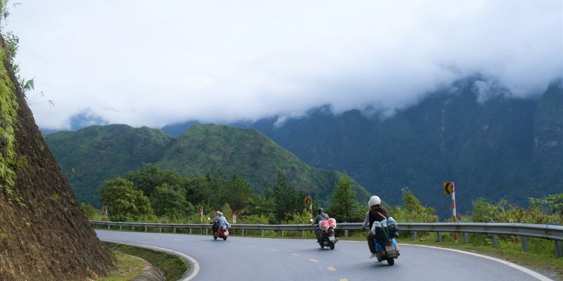
For those who want to travel by motorbike, you just need to follow the QL6 route to reach Moc Chau. Pha Luong is about 40km from Moc Chau; to get here, you just need to go to the area of the museum intersection, then turn into the road leading to Long Sap border gate, passing through Dai Yem Waterfall, and then you will reach the Chieng Son intersection. From here, turn into the Chieng Son Border Guard Station area.
Sharing detailed travel instructions from Hanoi to Pha Luong Peak
Below is a specific itinerary that tourists can refer to:
8:00 AM: Travel from Moc Chau town to the border guard station, rest and recharge for the journey to conquer Pha Luong Peak. The group traveling from Moc Chau to here will not find any shops, so you should bring along some food reserves for when you get hungry.
After completing the procedures at the border guard station, you can start your journey. To ensure you have enough time for sightseeing and to avoid getting lost, you can hire local people to guide you.
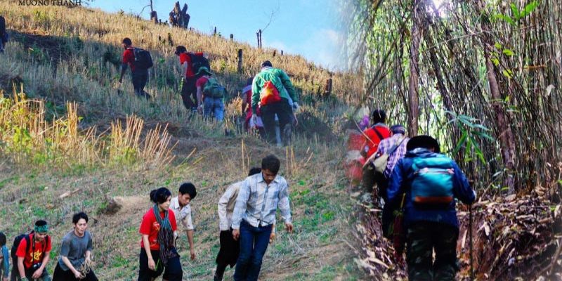
9:00 AM: Start the climb and conquer Pha Luong Peak. It will take about 3 hours to reach the top. The path to the peak will be a small trail with many ups and downs. Sometimes you will need to squeeze through or crawl to overcome slippery sections. Therefore, tourists need to be careful during the journey. Once you reach the top, you will be greeted with a heavenly scene filled with peach and plum blossoms blooming, coloring the sky.
Traveling to the peak from the foot of the mountain in the morning
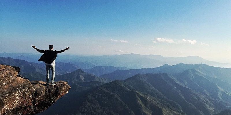
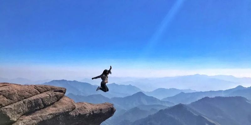
2:00 PM: Stop at the peak area, rest, and then check-in for photos. This is an activity that every tourist cannot miss as it is the result of the trip. If it is the harvest season, you will be able to admire the golden landscape of Moc Chau from Pha Luong Peak. The most checked-in spot is the rock protruding from the cliff, which will be an ideal place for beautiful photos among the clouds. Additionally, there is a flat, spacious area suitable for camping, resting, and dining.
3:30 PM: Start moving down the mountain, returning to Pha Luong border guard station. On the way back, you will also need to go through slippery and dangerous slopes. The journey can be exhausting, so be careful to ensure safety for yourself and others.
5:30 PM: Stop at the border guard station and rest for about 30 minutes. Tourists can take a bus back to Moc Chau if conditions allow. If the weather is bad or you return late, you can request to stay overnight here.
Check-in and descend in the afternoon
Conquering Pha Luong Peak is an incredibly wonderful journey but not easy. Therefore, to prepare thoroughly and have a meaningful trip, tourists should also pay attention to the following:
Important notes to keep in mind when traveling to Pha Luong
Above are suggested routes to explore Pha Luong Peak - Moc Chau that you can refer to. If you are also looking into this beautiful land, don't miss out on Moc Chau travel tours from NVK Travel.
Fill out the form and we will contact you